First Alert Weather: Rain is on the way, temps trend cooler
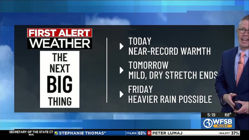
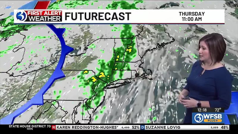
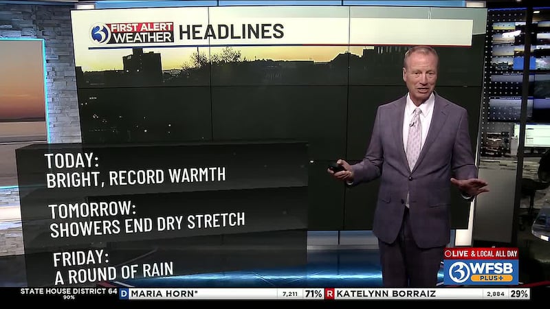
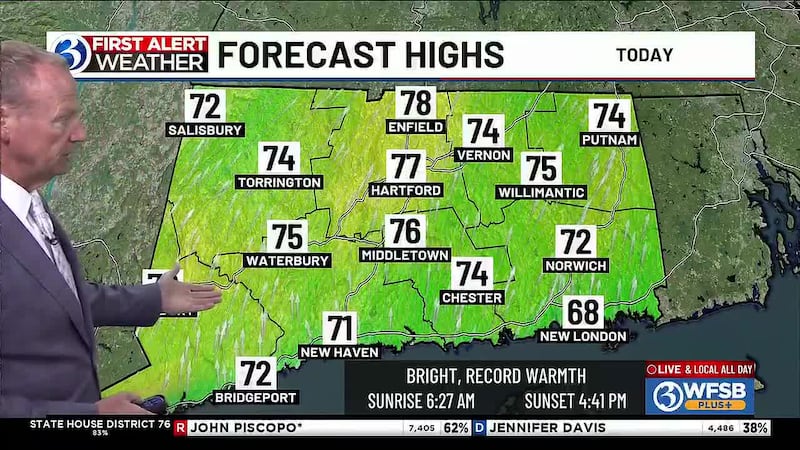
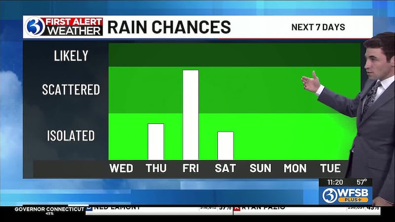
After coming within 2° of the Hartford Area record high for 11.04 (temps more in line with mid-September), our warming trend has peaked. Also, our lengthy dry stretch (19 days long) will soon end. Today, you’ll need the umbrella as isolated to scattered showers move through CT. Then, more substantial rounds of rain will be possible tonight, then later Friday – it all comes down the progression of a cold front moving across the region. Looking ahead to the weekend... it won’t be entirely dry as temps continue trending cooler. Next week, as of now, appears to start dry but windy with temperatures closer to normal.
For any Alerts in effect for CT, click: here.
For the current Air Quality Index, click: here.
From Meteorologist Scot Haney in the Channel 3 First Alert Weather Center...
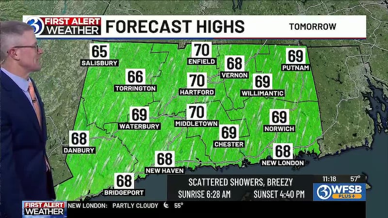
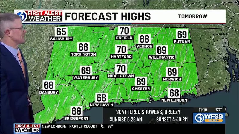
Today, 11/5/26: Cloudy, isolated to scattered showers. Mild, breezy. High: 70 inland, 68 shore.
Tonight: Showers/downpours possible. Unseasonably warm. Low: 61.
Friday: Cloudy, periods of rain (especially later in the day). Isolated storms possible. High: 68 inland, 67 shore.
Saturday: Mostly cloudy, chance for isolated to scattered afternoon/evening showers. Low: 55. High: 63 inland, 64 shore.
Sunday: Mostly cloudy. Breezy. Low: 47. High: 58 inland, 59 shore.
Monday: Mostly cloudy. Windy. Low: 40. High: 57 inland, 58 shore.
Tuesday: Partly to mostly cloudy. Breezy. Low: 38. High: 61 inland, 62 shore.
Wednesday (Veterans Day): Partly to mostly cloudy. Low: 37. High: 58 inland, 59 shore.
Copyright 2026 WFSB. All rights reserved.